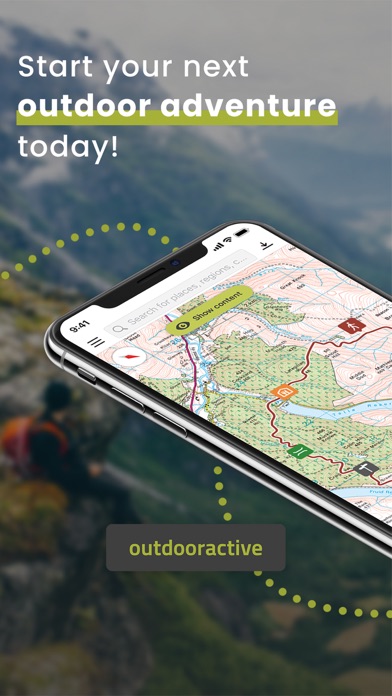
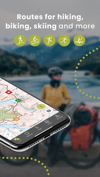
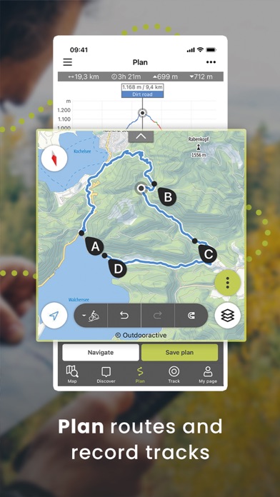
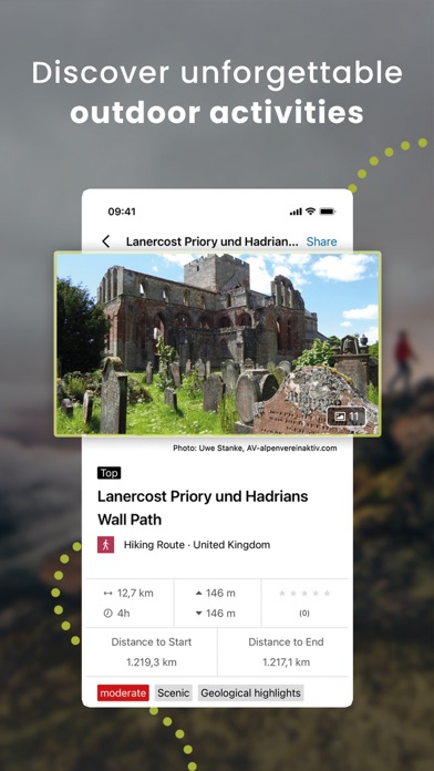
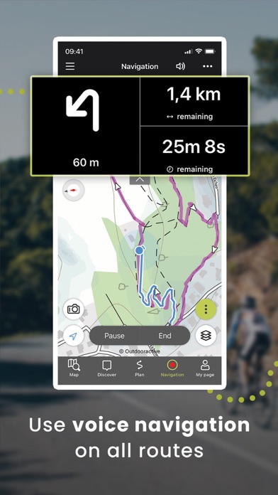
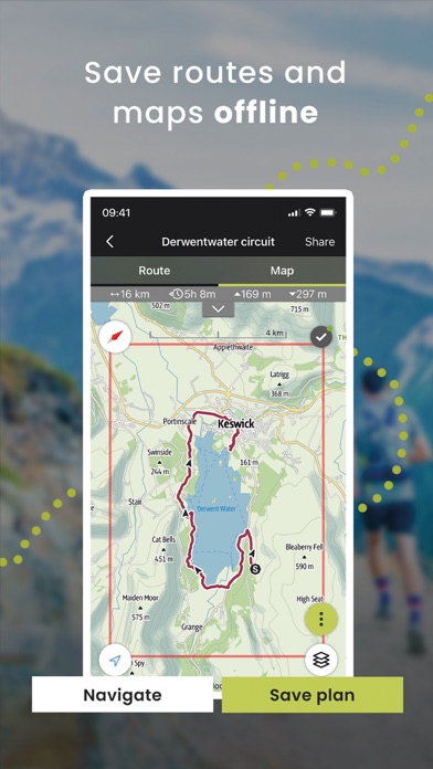
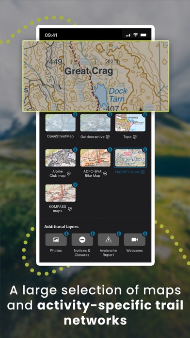
Confidently explore the great outdoors with Outdooractive - Hike and Ride: The most reliable outdoor navigation app, as trusted by thousands of trail wardens, mountain guides and outdoor industry professionals worldwide. The Outdooractive - Hike and Ride app helps you find officially approved routes near you and around the world, with suggestions for dozens of sports including: hiking paths, trekking trails, mountain biking routes, trail running paths, ski touring routes and more. Or plan your own routes using the deepest catalog of official maps to take adventures into your own hands with our map route planner. Find routes you can rely on: Browse thousands of officially-approved routes near you and across the world, including routes for hiking, road cycling, bike touring, ski touring, gravel riding, trail running, horseback riding, mountaineering and more. Plan your own routes with tools trusted by professionals: Easily plot your own outdoor routes in the route planner in just a few taps, and see all need to know distance, elevation and terrain info. Save everything offline: Save individual plans or entire areas offline for reliable navigation when you don't have a phone signal. Browse the deepest collection of different map types to track or plan your adventures with confidence: Simply switch between different layers to get a clearer picture of the terrain you're planning to visit, and get the most reliable understanding of conditions on the ground. Outdooractive's map catalog currently includes: Official topo maps in 25 countries, including: Ordnance Survey (Landranger & Explorer) in the United Kingdom, New Zealand Land Information in NZ, USGS in the USA, BKG in Germany, BEV in Austria, Swisstopo in Switzerland, IGN in France, PDOK in the Netherlands, Kartverket in Norway, Lantmäteriet in Sweden, Finland National Land Survey in Finland, Harvey Maps in the UK, the official Alpine Club maps for climbing in the Alps As well as the specially-designed Outdooractive map across France, Germany, Austria and Switzerland. Share your live location with family and friends: Give yourself and your loved ones complete peace of mind when you're out in the great outdoors thanks to BuddyBeacon. Join a global community of outdoor tourists and adventurers: Share your activities with the community, join challenges to stay motivated, and get inspired by officially-approved content from our thousands of industry partners. Recorded tracks can be saved as workouts in Apple Health. Your heart rate and biometric data from Apple Health can be used to calculate calories spent during the track recording. No Health data is used for marketing or advertising purposes FAQs: Can Outdooractive find walking trails near me? Outdooractive helps you find walking, hiking, cycling and many more types of trails both in your area, and around the world. You're able to filter and view multiple types of activities in an area of your choosing, created and shared by outdoor experts. How can I find hiking trails near me?: Using Outdooractive, you're able to find hiking trails in your local area by opening our app and browsing the map. You'll be able to see hiking trails with a range of distances, difficulties and distance from your location. Your iTunes account will be charged to the amount of the subscription fee after your purchase has been confirmed and after the trial period has expired. The subscription renews annually unless the automatic renewal is deactivated at least 24 hours before the end of the current billing cycle or during the trial period. Costs for any unused periods of the term will not be reimbursed. The option to deactivate can be found in your iTunes account settings. Your account will be charged for the renewal amount within the 24-hour period before the end of the current billing cycle. www.outdooractive.com/en/terms-and-conditions.html